Further warning to drivers in South-East as snow is set to move in


Strong easterly winds are expected to take a band of snow into parts of the South-East and South-West from 6am tomorrow morning (Thursday March 1) with the snow then moving north into the Midlands and parts of the East.
The band of snow will result in snow drifts in places but will also leave rain and icy conditions in its wake ahead of Friday morning’s rush hour.
Advertisement
Hide AdAdvertisement
Hide AdWhile accumulations of between 2cm and 5cm of snow are expected, higher routes could experience between 10cm and 13cm.
The strong winds could also cause drifting from snow already laying in fields as well as from snow showers.
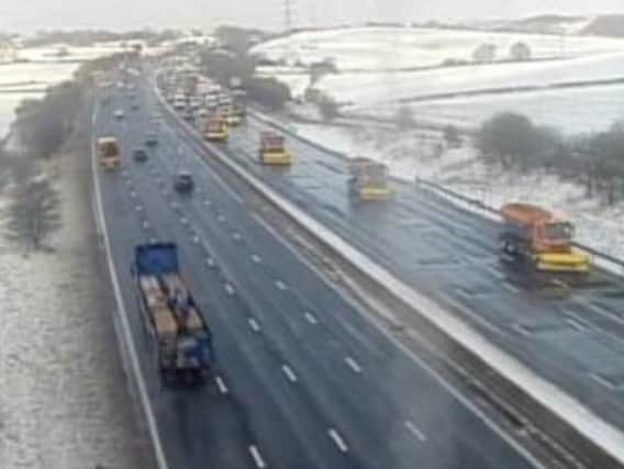
Highways England’s salt spreading and ploughing teams will continue to work around the clock to treat roads and keep traffic moving.
Highways England’s Head of Road Safety, Richard Leonard, said: “Our gritting teams have been out treating the roads throughout the day and will continue to spreading salt 24 hours a day to keep the roads moving.
Advertisement
Hide AdAdvertisement
Hide Ad“Drivers should plan their journeys, monitor weather reports and pack a snow kit of blankets, food, water and a shovel if they really need to travel. You should avoid driving during heavy snow if at all possible.
“Our advice is to keep your distance and reduce your speed because, even in conditions that seem normal and when the snow is not settling, it can be slippery if ice patches have formed, or where fresh salt has not been worked into the carriageway.”
Nicola Maxey from the Met Office said: “It’s a good idea to keep an eye on the latest Met Office forecast and warnings for your area to ensure you’re up to date with the latest situation.”