
Ringmer land could be used for 60-day campsite despite flood risk: mitigation measures to be put in place

A company is hoping to use land in Ringmer as a campsite for 60 days despite its flood risks.
Gylisa Potten and Wayne Stuckey have applied to Lewes District Council to use the Bear & Cedar Camping site next to Ringmer Business centre (off Chamberlaines Lane) for camping from May to September this year.
People can view the application documents at planningpa.lewes-eastbourne.gov.uk/online-applications using reference LW/26/0063.
A Flood Assessment (FRA), which has been included in the application, said the source of the flood risk is ‘a small stream located on the south side of the campsite’.
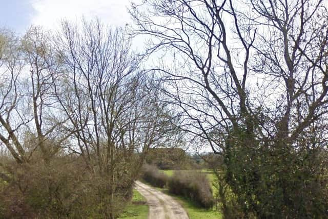

It said: “The key mitigation measures we will take for this risk will be a 20 metre exclusion zone during use of the site, parallel to this running stream. We have conducted our own observation during the recent heavy rain and flooding across Sussex and noted that the stream had not burst it banks at any stage.”
The FRA said the site is in zones with a medium and high probability of flooding but said the business park owner notes that the land has not flooded historically. The FRA explained that the site would not be used during winter months to help mitigate the flood risk further.
It continued: “We have concluded that the stream offers a very minimal risk during the summer months that the field will be in use, however we will continue to maintain a ‘no camping’ zone along the edge of the field to ensure the safety of all our campers. We have no plans to develop the land in any way (ie, no hard standing) therefore keeping the impact to the land at a minimum and no increase in the run-off rates.”
The FRA’s conclusion said the proposed campsite can operate safely in Flood Zones 2 and 3 because it is temporary, and called an extreme flood event ‘unlikely’ within its opening times. But it said: “To ensure safety; the implementation of a flood warning and evacuation plan will be put in place as a standard operating procedure.”
Evacuation routes will be the entrance/exit and along the access track, while an assembly point will be situated next to the entrance/exit.
The FRA said: “There are no permanent structures that are vulnerable to flood risk on the site, and all campers will be pitched a safe distance away from any water courses.”
The detailed dates for the land to be used as a campsite are between: May 22-24, May 29-30, June 5-6, June 8-9, June 26-27, July 3-4, July 10-11 and July 17-August 30.