
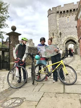

Their aim is to inspire more people to get out and cycle, whether to enjoy the town and its surrounding countryside, or for getting to work, school or the shops.
As well as recommended routes within the town, the map has seven routes from the town into the surrounding countryside, and shows pubs, cafés and places of interest along the way. Happily, the mileage of dedicated cycle paths has dramatically increased since the first Cycle Lewes Map produced 16 years ago.
For instance, the recently designated bridleway connecting Lewes to Iford via Rise Farm, which has
glorious views of the valley, with Lewes Castle in the mid-distance. The printed version of the map is available free at the Lewes, Newhaven and Seaford Tourist Information Centres, Lewes Cycle Shack and the Lewes Climate Hub. To see the online version, go to https://www.cyclelewes.org.uk/maps The country routes are also available on the Komoot - https://www.komoot.com/user/cyclelewes