
Company applies to build up to 280 new homes on land at East Sussex village

A company is hoping to build up to 280 new homes on land at Hellingly.
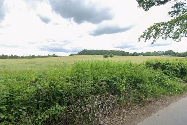
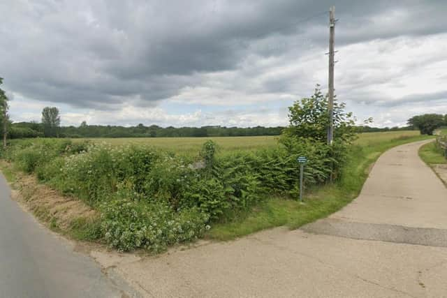
Hallam Land Management Ltd has applied to Wealden District Council for outline planning permission to erect the dwellings on land to the north of Mill Lane and west of Grove Hill.
People can see the application documents at planning.wealden.gov.uk using reference WD/2026/1679/MAO.
The outline planning application (with all matters reserved except the means of access) is also for affordable housing, the formation of a new access and reconfiguration at Mill Lane, formal and informal open space, landscape planting, drainage, infrastructure and associated works.

The design and access statement by tor&co said: “The proposal acts as a logical extension to the northern edge of Hailsham, following the natural direction of recent growth to the north of the town.”
The application form said the 16.44-hectare site currently comprises agricultural fields, which are bisected by an existing access track and pubic right of way. It said there is scrubland in the western area of the site. The form proposes 182 properties, plus another 98 homes classed as ‘social, affordable or intermediate rent’. But the application does not specify the number of bedrooms or the mix of homes. This is set to be confirmed at Reserved Matters.
The design and access statement said some of the key strategic design considerations include: creating a new neighbourhood with a ‘distinct character’; ensuring active travel connectivity to Hailsham; creating an ‘extensive green and blue infrastructure network’ with green corridors ‘punctuating the built form’; and creating a new nature park to promote habitats and biodiversity.
The statement said: “A number of pedestrian and cycle access points to the site are proposed, linking into wider public rights of way including The Cuckoo Trail, to the west of the site.”
It said the proposal features a variety of public open space, which will provide leisure and recreational opportunities for all ages. It said: “A central green space, (located at a key intersection of routes across the masterplan) includes a new play space.”
The statement said new tree and hedgerow planting would be introduced where possible, while the ‘overwhelming majority’ of existing trees and hedgerows would be retained in the masterplan.
It said: “The majority of the site is within flood zone 1 (at low risk from flooding from fluvial sources), with an area of flood zone 2 and 3 on the western side of the site associated with the adjacent River Cuckmere.” But it said a number of strategic attenuation basins are proposed within the low areas in the west of the site.
The statement said there would be a new vehicle access in the south eastern corner of the site through the realignment of Mill Lane to give priority to movement into and out of the site. It said the western end of Mill Lane would form the ‘minor arm’ of a ‘new simple priority junction’.
It added that the site would feature on-street and on-plot parking and said a new shared footway and cycleway would be provided adjacent to the vehicular access.