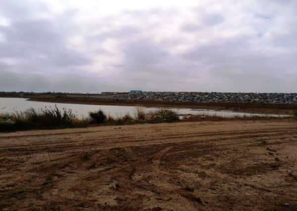
Medmerry defences are nearly complete


The Medmerry Realignment Scheme will protect the areas around Selsey and Bracklesham Bay from flooding.
An Environment Agency spokesman explained why the work was so important.
Advertisement
Hide AdAdvertisement
Hide Ad“Medmerry is currently one of the stretches of coastline most at risk of flooding in southern England,” he said.
“The shingle bank at Medmerry requires expensive maintenance each winter, which is not able to prevent coastal flooding during major storms.
“With our climate changing and sea levels rising, the risks and the number of people affected is likely to increase.”
In response to these dangers, the Environment Agency bought land at Medmerry the size of 300 football pitches, and decided to build new defences inland.
Advertisement
Hide AdAdvertisement
Hide AdThis means a large proportion of this land will flood at high tide.
“This will directly protect 350 houses, as well as the sewage plant and the main road to Selsey,” said Colin Maplesden, the agency’s project manager for the scheme.
He explained if the work was not done, the previous sea defences would breach, and eventually the water would join up with Pagham Harbour, making Selsey an island.
In September 2011, the Environment Agency decided to press ahead with a managed realignment scheme, and it is now close to completion.
Advertisement
Hide AdAdvertisement
Hide AdAlong with the sea defences, new bird islands have been created for wildlife, which the RSPB will manage.
The important new wildlife wetlands at Medmerry will offset the anticipated loss of protected intertidal habitats in the Solent over the next 100 years.
And what’s more, new public access points will be created for residents and visitors to enjoy the wildlife.
The scheme will include new public footpaths, cycle paths and bridleways, two small car parks and viewpoints.
Advertisement
Hide AdAdvertisement
Hide AdMr Maplesden did stress that until the work is finished, there is no public access onto the site as it essentially a building site and it is dangerous.
But the work is set to finish by the end of October – so it won’t be long until the site is reopened to the public.
For more information about the work at the site, and for maps to see how the area will look in low and high tides, visit www.environment-agency.gov.uk/homeandleisure/floods/109062.aspx