
'Plans are in place' - Council working to find long-term fix for flood-hit West Sussex A-road

Council staff are working to find a long-term fix for the flood-hit A29.
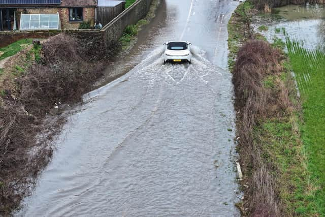
West Sussex County Council (WSCC) has been leading the response to recent major flooding on A29 Shripney Road.
The busy Bersted A-road was closed for 12 consecutive days in February, reopening on Friday 13th. But the road had to be shut for 48 more hours – from Thursday, February 19 – after the area experienced an estimated two weeks’ worth of rainfall in a 24-hour period.
Firefighters were called to the flood-hit road and a stranded driver had to be rescued. Meanwhile, a woman responsible for an assault on a council operative, on the A29, ‘accepted a community resolution’ and avoided further punishment. This came after a highway operative escaped unharmed after being 'struck' by a car, which had 'forced its way through’ the road closure'.

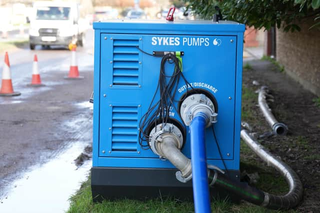
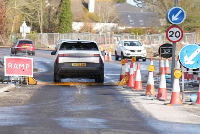
West Sussex Highways announced, on Tuesday, March 3, that contractors were working to remove temporary ramps. To carry out the remaining works safely, an overnight road closure was put in place from 8pm on the Wednesday until 6am on Thursday.
During this closure, works were undertaken to clean all gullies, sweep the carriageway, and remove equipment from the site. Access was maintained for local residents, businesses and emergency services.
Three weeks later, the county council issued an update about it’s long-term efforts to deal with the situation – with the A29 always prone to major flooding, in the event of heavy rainfall.
A WSCC statement, on Thursday, March 26, read: “We understand how frustrating the recent flooding on Shripney Road has been for residents, and we want to reassure you that plans are in place to help us better understand the situation and find solutions.
“Once water levels stay consistently lower, we’ll begin survey work to collect essential baseline data which will give us the information we need to work with our consultants to develop potential solutions that we can then share with our partner organisations.
“We’ll keep you updated as this work progresses. Thank you for your patience.”
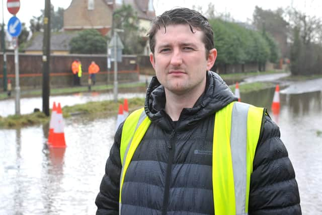
The ongoing flooding reflects long-standing issues in the area, according to county and district councillor Keir Greenway, a lifetime resident of Bersted.
Mr Greenway, who visited residents to discuss the impact of flooding, asked the local authority to address the mess the water has left behind.
Writing to constituents on Facebook, he said: “I have written to Arun District Council to ask that the cleansing team come out to deal with the street scene, which needs urgent attention. This includes the litter, mud and debris on the highway and footpaths.”
Councillor Greenway also said he had been in contact with West Sussex Highways to get an update on the clearing of the drains, as well as whether it would be possible to mend the damaged verges.
Following widespread flooding in October and November 2023, a formal Section 19 flood investigation examined why Shripney is particularly vulnerable.
“Shripney sits in a low-lying catchment, with water naturally draining through the Shripney Manor Ditch into the slow-flowing Aldingbourne Rife,” Cllr Greenway said. “The village also relies heavily on roadside drainage (ditches, pipes and gullies) to move water away during heavy rain."
He said the 2023 flooding was caused by several overlapping factors rather than a single failure.
“Exceptional rainfall from multiple storms fell on already saturated ground, groundwater levels were already high, and the Shripney Manor Ditch exceeded its capacity and came out of bank,” he said.
“When the ditch is full, highway drains can’t discharge properly, so water backs up and surcharges onto the road. At the same time, the foul sewer system was overwhelmed and discharging from manholes, and some highway gullies were partially blocked by silt and tree root intrusion.”
Cllr Greenway warned that climate change is increasing the likelihood of similar events in the future.
He added: “Climate change is increasing the likelihood of intense rainfall on saturated catchments, which puts villages like Shripney at ongoing risk.
The Arun district councillor for Bersted said the flooding in 2023 affected areas both inside and outside mapped flood zones.
“That shows the risk is broader than official flood maps suggest,” he said, noting that flooding in Shripney can come from several sources at once, including surface water, overflowing ditches, blocked drainage, high groundwater and sewer surcharge.
“When all of these overlap, flooding becomes more severe and much harder to prevent.”
The report concluded that while flooding cannot be entirely prevented, a number of ‘practical, achievable actions’ could reduce the impact of future events if implemented together. Further investigation has been recommended to better understand longer-term influences on flooding and to reduce future risk.