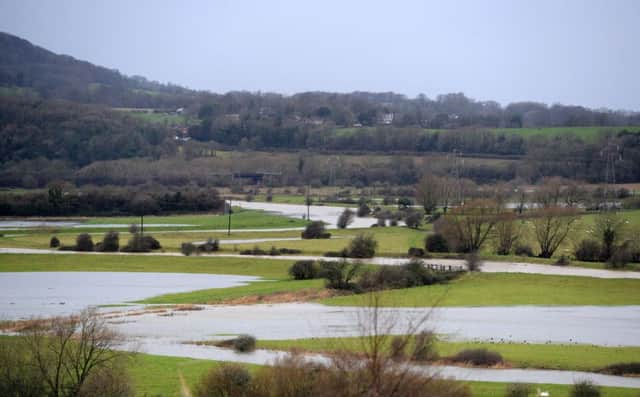
Taming the river ... reducing the risk of Ouse flooding


In 2016 the council agreed a £296,750 three-year programme of flood protection and water retention works in the Upper Ouse Valley.
The project is being undertaken in partnership with the Ouse and Adur River Trust and Sussex Flow Trust, with the support of the Sussex Wildlife Trust.
Advertisement
Hide AdAdvertisement
Hide AdWork to date includes 4,000 trees and 610m of hedgerow planted across 11 woodland sites, development of a new storage pond in Green Lane, Ringmer, and detailed mapping of the Bevern and Plumpton Mills streams has been completed.
Progress is being made on reconnecting the Ouse to three floodplains at Anchor Gate above Barcombe, in the Isfield area and, in liaison with the National Trust, at Sheffield Park, for the delivery of 10 hectares of flood water storage space.
Cllr Isabelle Linington, Cabinet Portfolio Holder for the Environment, said: “People living in the district know better than most how important this work is and while I am pleased with what has been done so far there is no room for complacency.
“Plans for the next 12 months include a flood storage pond in either Wivelsfield or Broyleside, Ringmer, more small woods and hedgerow projects, sub-catchment mapping of Glynde and Longford Stream and continued work with partners, landowners and the National Trust on floodplain reconnections.”