

West Sussex County Council (WSCC) has been leading the response to major flooding on A29 Shripney Road, which was first closed on Monday, February 2. The Bersted A-road had re-opened by 5pm on Friday, February 13, but had to shut again on Thursday, February 19.
Bersted resident Keir Greenway, who is a district and county councillor, wrote on Facebook: “Please be informed that, as of Saturday 21st February, the following the flooding experienced on Thursday. The pumps remain in operation on site and will continue to run.
“We will continue to monitor conditions daily and will close the road again if weather changes or if we believe there is any risk to customer safety. Thank you for your ongoing support and understanding.”
The road had to close for a second time after the area ‘experienced an estimated two weeks’ worth of rainfall’ in a 24-hour period.
A West Sussex Highways social media post, on Thursday morning, added: "Following an inspection this morning, Shripney Road is flooded and, as a result, the road has been closed for safety and to protect properties.
"Pumps remain on site and are continually diverting water into a nearby watercourse; however, the system is currently overwhelmed due to the exceptional volume of water. We will continue to monitor the situation closely and take further action as required."
On Thursday afternoon, firefighters were called to the flood-hit road and a stranded driver had to be rescued.
A spokesperson for West Sussex Fire & Rescue Service said on Thursday (February 19): “We were called at 1.21pm to rescue a person from floodwater in Shripney Road, Bognor Regis.
“Joint Fire Control mobilised one fire engine to the scene.
“Upon arrival the crew found a car stuck in floodwater. Firefighters rescued a person from the vehicle. The crew left the scene at 2.15pm.”
Residents were thanked for their patience and understanding – but those ignoring the road closure have been given an important warning.
A West Sussex County Council (WSSC) spokesperson said: “Drivers must not ignore the road closure signs. They are in place to keep everyone safe. If you see a road closure sign you must use an alternative route. Floodwater can be deeper than it looks and may hide hazards beneath the surface.
“Driving through floodwater may also invalidate vehicle insurance and motorists should check this with their insurer. Vehicles travelling through flooded areas can also create waves that push water into nearby gardens, driveways and homes, causing further disruption for residents. We kindly ask drivers to follow signed diversions and avoid entering any flooded roads.”
An earlier WSSC statement advised that the ‘exceptionally heavy rain’, combined with high tides, has ‘resulted in severe flooding’. This made the road ‘unsafe for drivers’ from 6am.
The county council added: “Teams are working continuously to reopen the route as soon as it is safe to do so. Pumping operations are underway to remove water from the carriageway into a nearby ditch, following agreement with the landowner. However, due to the volume of rainfall, the drainage outlets currently in use are overwhelmed, preventing the road from being cleared to a safe standard at this time.
“With further rain forecast, we cannot rule out additional closures even after the road has reopened, but we will continue to monitor the situation closely and keep our pumps running.
“The county council is working alongside partner agencies including Arun District Council and the Environment Agency to investigate long‑term solutions to what remains a recurring and complex flooding issue in this area. These investigations build on work undertaken following similar flooding events during the winter of 2023–24.
“We propose to commission a detailed review of the reasons for flooding in the area and establish the opportunities for reducing the extent and risk of further flooding and improve the resilience of the roads.”
Before the road had to close for a second time, photos showed temporary ramps and traffic lights had been installed – with a reduced speed limit in place.
At a meeting earlier this month – with agencies including Arun District Council and the Environment Agency – WSCC put forward proposals to ‘lead on and fund investigative works’. With ‘support from our partners’, the aim is to ‘identify long-term solutions to this recurring and complex issue’.
The statement added: “This will build on previous investigations into the causes of flooding and the challenges of responding that we undertook following similar incidents in the winter of 2023 to 2024.
“We propose to commission a detailed review of the reasons for flooding in the area and establish the opportunities for reducing the extent and risk of further flooding and improve the resilience of the roads.”
Council contractors installed a temporary ramp, over the flooding at Sack Lane, to ‘enable vehicle access for all residents’.
After the road was initially reopened, councillor Greenway told this newspaper that he was ‘delighted’ to see the route back in use. But the lifetime resident of Bersted correctly warned that 'we’re not out of the woods yet', adding: "We are at the mercy of the weather.”
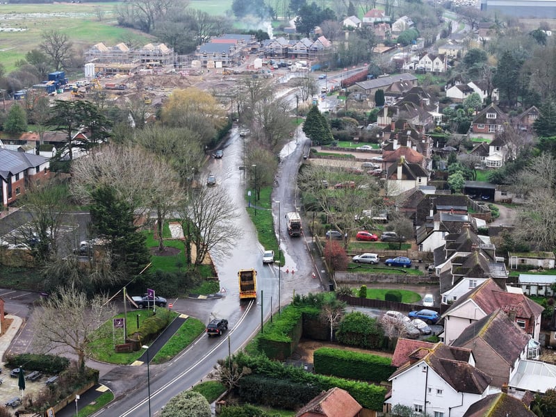
1. A29 flooding
The exceptionally heavy rain, combined with high tides, resulted in severe flooding, making the road unsafe for drivers Photo: Eddie Mitchell
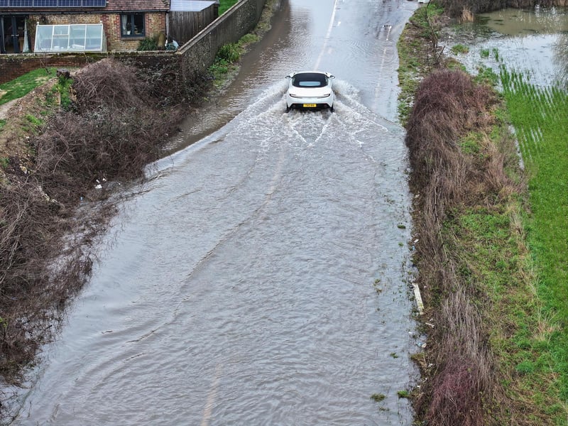
2. A29 flooding
The exceptionally heavy rain, combined with high tides, has resulted in severe flooding, making the road unsafe for drivers Photo: Eddie Mitchell
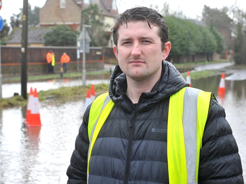
3. A29 flooding
Bersted councillor Keir Greenway has been updating the public about the flooding situation Photo: Steve Robards
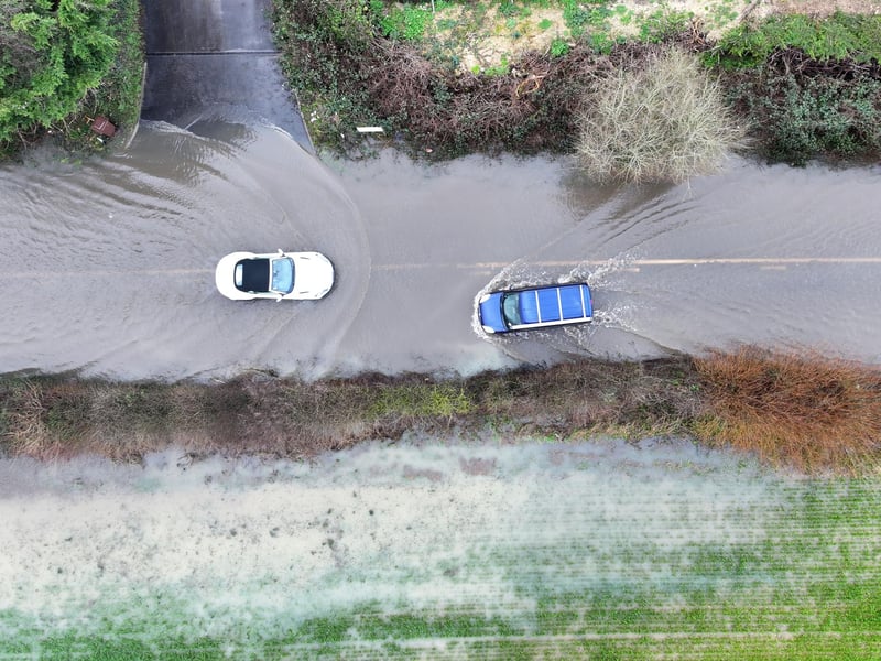
4. A29 flooding
The exceptionally heavy rain, combined with high tides, has resulted in severe flooding, making the road unsafe for drivers Photo: Eddie Mitchell