
'Be prepared' - Town on Sussex / Hampshire border put on alert amid risk of flooding; two further warnings removed by Environment Agency

A town on the Sussex / Hampshire border is at risk of flooding, according to the Environment Agency.
This comes amid heavy rainfall across the South East on Wednesday (September 10).
Six flood warnings are in place across the UK, meaning flooding is expected.
There are a further 28 flood alerts, meaning flooding is possible and residents should ‘be prepared’.
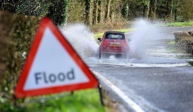

A flood alert is in place for the coastal area from Langstone to Emsworth Harbour.
This reads: “Wednesday afternoon's tide at 13:54 on 10/09/2025 is higher than normal due to unsettled weather with light South Westerly Force 4 winds.
"The weather increases tide table values by 0.24 m. The total forecast tide is 5.22 metres Chart Datum (2.49 mAOD) at Portsmouth.
"Impacts will be relatively minor and confined to the immediate sea front. For 30 minutes either side of high tide, water will be high at South Street and Queen Street, Emsworth.
"The Ship Inn car park, Langstone will flood. Water will flow into the road at Langstone High Street, but flood depths will be relatively shallow.
"Thursday's early morning tide at 02:09 11/09/2025 is forecast to be 13 cm lower (2.36 mAOD). No further flood impacts are expected.
"If you have it, and live directly on the harbour front, please install flood protection one hour before high tide. We will remove this message by 17:00 on 10/09/2025.”
Flood warnings were previously in place on Climping seafront and Littlehampton’s Rope Walk as well as Ferry and Bridge Road – on the west banks of the lower tidal River Arun.
The Rope Walk warning read: “Thursday's early morning tide at 01:00 on 11/09/2025 is forecast to be lower than recent days, and accompanied by strong Westerly Force 6 winds. The weather still increases tide table values by 0.16 metres.
"The total forecast tide is 6.15 metres Chart Datum (3.1 mAOD) at Littlehampton. Over the next five days, light winds and small waves are forecast, and with tides being lower, only minimal flood impacts are expected. We continue to monitor the forecast. We will reissue this flood alert if property flooding could be possible.”
The warning for Climping seafront read: “Thursday's early morning tide at 01:00 on 11/09/2025 is forecast to be lower than recent days, and accompanied by strong Westerly Force 6 winds. The weather still increases tide table values by 0.16 metres.
"The total forecast tide is 6.15 metres Chart Datum (3.1 mAOD) at Littlehampton. Over the next five days, light winds and small waves are forecast, and with tides being lower, only minimal flood impacts are expected. We continue to monitor the forecast. We will reissue this flood alert if property flooding could be possible.”
According to the Met Office, the UK will ‘continue to experience unsettled conditions’ over the coming days, with a ‘mix of heavy rain, thunderstorms, and strong winds’ affecting many areas.
A spokesperson added: “Today, bands of rain and showers will move northeast across much of the country, becoming increasingly heavy and locally thundery.
"While there will be some limited sunny spells in between, a more marked clearance is expected later in the day across western and southwestern regions. These areas will also turn windy, with a risk of coastal gales developing. Temperatures will remain rather cool for the time of year.
"Tonight, a band of heavy rain will clear north-eastwards, leaving behind clearer spells and blustery showers.”
The outlook for the weekend, in the South East, is ‘often windy with showers – heavy and perhaps thundery at times’. A spell of heavy rain is likely Sunday, with a ‘risk of gales’, the Met Office said.
Paul Gundersen, chief meteorologist at the Met Office, said: “We have been monitoring a deepening area of low-pressure over the North Atlantic that might bring impactful weather to the UK, most likely on Sunday and Monday. At present, a named storm is unlikely.”
Find out more at https://www.metoffice.gov.uk/