Flooding is 'expected' in these Sussex and Surrey areas amid heavy rainfall; multiple alerts issued

and live on Freeview channel 276
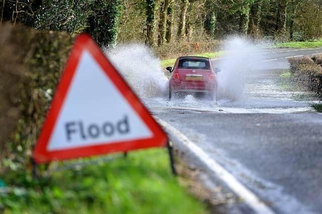
As many as 73 flood warnings have been issued by the UK Government’s Environment Agency. This means that ‘flooding is expected’.
These are the two Sussex areas affected by these warnings (zero reported in Surrey):
Advertisement
Hide AdAdvertisement
Hide Ad– Fittleworth on the Western Rother (Chichester district – over a month's rain (70mm) has fallen in the past week);

– Barcombe Mills (Lewes district – River Ouse ‘high and rising’ after 12mm of rain in the last 24 hours)
Flood alerts, meaning ‘flooding is possible’, have been issued for 281 UK rivers – including these 25 Sussex and Surrey hotspots:
West Sussex
– Upper River Mole, Ifield Brook, Gatwick Stream and Burstow Stream;
– Aldingbourne and Barnham Rifes;
Advertisement
Hide AdAdvertisement
Hide Ad– West Dean, Singleton, Charlton, East Dean and Chilgrove (groundwater flooding reported);
– Western Rother (near Fittleworth);
– Groundwater flooding in upper River Ems Valley;
– River Adur: west and east branches;
– Upper Ouse;
East Sussex
– River Uck;
– Patcham (groundwater flooding);
– Cuckmere River;
– Combe Haven;
– Rivers Tillingham and Brede;
– River Rother and its tributaries from Turks Bridge to the Royal Military Canal;
Surrey
– River Lox;
– Cranleigh Waters;
– Redhill Brook at Redhill and Salfords Stream at Salfords;
– Rivers Eden and Eden Brook;
– River Mole and its tributaries from Kinnersley Manor to South Hersham;
– Hoe Stream;
– Windle Brook and Hale, Mill and Addlestone Bournes;
– River Whitewater and River Hart;
– River Blackwater and The Cove Brook;
– Chertsey Bourne;
– River Thames from Datchet to Shepperton Green
Weekend weather forecast
Advertisement
Hide AdAdvertisement
Hide AdMet Office warnings for wind and rain are no longer in place but ‘unsettled conditions’ are expected to continue in the coming days.
‘Further rain and wind’ is ‘likely for some through the weekend’.
A spokesperson for the Met Office said: “Friday will be a breezy day for many, with showers feeding into many areas, though these will generally be more frequent in the west. Temperatures are returning more towards average for the time of year compared to the recent mild weather.
"Showers should reduce through Saturday, giving most areas a drier spell of weather.
“Further persistent rain and locally strong winds are likely to move into some southern areas on Sunday, though those further north are likely to see drier conditions.”