

Snow and ice warnings are in place for large parts of the UK.
The Met Office stated: “Cold conditions bringing a range of wintry hazards are set to continue across the UK for the next few days.
“A string of four amber warnings for snow are in force across parts of the northern half of Scotland. These are complemented by a series of yellow warnings for snow and ice across many parts of the UK from Scotland and Northern Ireland to parts of Wales and England.”
The South East is clear of these alerts, for now. Nevertheless, people across Sussex – including Worthing, Horsham and Crawley – awoke to a dusting of snow on roads and cars.
Scroll down and click through to see a gallery of photos from the Worthing area.
The latest forecast for Sussex, as per BBC Weather, reads: “Today will be dry and cold with winter sunshine. Tonight will be cold with clear skies. It will be dry.
“Tomorrow will have a cold and dry start with bright spells. It will turn cloudier in the afternoon with some patchy light rain and hill snow moving in from the north by the end of the day.
“Wednesday will be breezy with plenty of wintry sunshine, although it will be chilly. Cloudy overnight with patchy rain in the early hours. Thursday will be largely overcast with some spells of rain. Friday will see heavy rain and hill snow for a time, these clearing to leave sunny spells and scattered snow showers in the afternoon. Windy.”
Matthew Lehnert – the Met Office’s chief meteorologist – the first full working week of the year will see a ‘range of winter weather hazards’, with ‘snow showers and ice’.
He added: “In the north of Scotland, snow showers are expected to become more frequent on Sunday night with some locations within the amber warning areas seeing a further 20-30 cm accumulate by Monday morning.
“Elsewhere in the UK, snow showers, ice and frost are expected at times but milder air will make attempts to spread eastward from Tuesday. This will mean rain becomes more likely in the south, but there is also the possibility of more organised snow along the boundary of the mild and cold airmasses. Strong winds could also be a feature later in the week.”
The Met Office said it is ‘likely that the forecast will evolve’ and it is therefore important that people ‘keep up to date with the latest forecast and warnings and plan ahead’.
The UK Health Security Agency (UKHSA)’s amber cold health alerts for England remain in place until Tuesday, January 6.
Dr Agostinho Sousa, head of extreme events and health protection, said: “As the colder weather sets in it is vital to check in on friends, family and neighbours that are most vulnerable.
“The forecast temperatures can have a serious impact on the health of some people, leading to increased risk of heart attacks, strokes and chest infections, particularly for individuals over the age of 65 and those with pre-existing health conditions.”
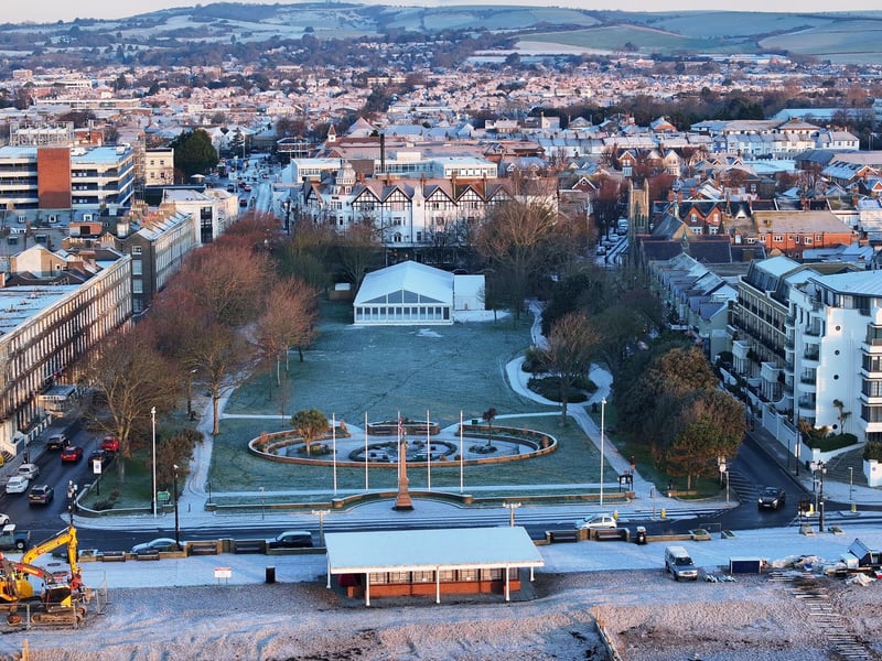
1. Snow in Steyne Gardens
Photos show snowy scenes across Worthing, amid freezing temperatures across the county. Photo: EDDIE MITCHELL
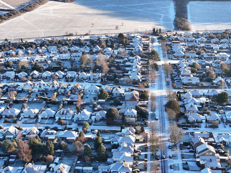
2. Snow in Findon Valley
Photos show snowy scenes across Worthing, amid freezing temperatures across the county. Photo: EDDIE MITCHELL
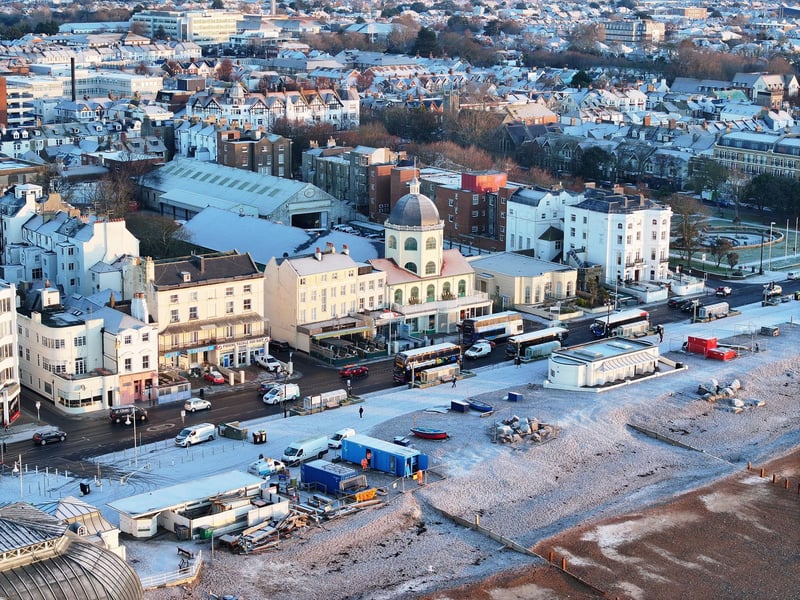
3. Snow at Worthing Dome
Photos show snowy scenes across Worthing, amid freezing temperatures across the county. Photo: EDDIE MITCHELL
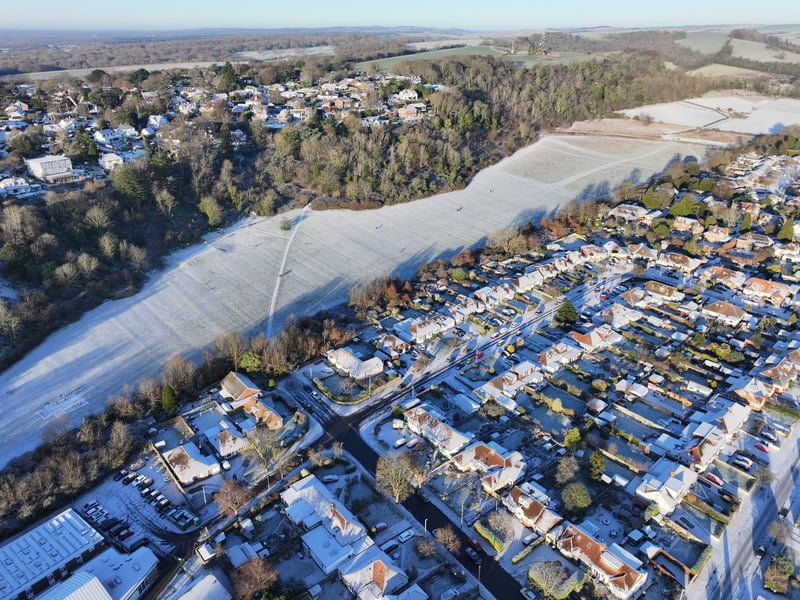
4. Snow in Findon Valley
Photos show snowy scenes across Worthing, amid freezing temperatures across the county. Photo: EDDIE MITCHELL