
Sussex weather: Risk of thunder the common theme in forecast for weeks ahead but when will sun return?

Here is the latest weather forecast for Sussex on Wednesday, August 27.
After some glorious sunshine, we’ve started to have some heavy downpours – and this looks set to be a common theme in the weeks ahead.
Torrential rainfall was reported in parts of the county on Wednesday morning.
The Met Office has predicted that cloud will build throughout the day, with a band of rain spreading – ‘heavy at times, with blustery winds and a risk of thunder’. Temperatures are expected to peak at 23 degrees Celsius.
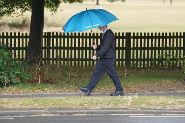

There will more outbreaks of rain at the start of the evening, ‘quickly becoming less frequent’ and ‘then dying away later on’. The Met Office said blustery winds will generally become light ‘away from the coast’. Temperatures will drop overnight to 11 degrees Celsius.
The Met Office’s London & South East England weather forecast, for the rest of the week, reads: “Thursday: Dry to start with some bright spells. Turning unsettled in the afternoon with scattered showers, locally heavy with thunder. Maximum temperature 22 °C.
“Outlook for Friday to Sunday: “Generally unsettled through the period with a mix of sunshine and showers. A band of rain spreading into the area on Saturday morning, bringing some heavy bursts and strong winds.”
The forecast – between Sunday, August 31 and Tuesday, September 9 – predicts that we will experience ‘changeable and unsettled weather conditions’ – with low pressure systems ‘tending to dominate the overall pattern’.
The Met Office added: “This will mean showers or longer spells of rain will affect the majority of the UK at times. Some heavy rain or showers are expected in places, most often in the west.
"Thunderstorms and hail are also possible, as are some spells of strong winds if any deep areas of low pressure form in the vicinity of the UK. Some short-lived spells of drier and more settled weather are also possible at times.
"Temperatures will likely be close to average or slightly below overall, but may rise above at times in any drier, sunnier spells.”
Between Wednesday, September 10 and Wednesday, September 24, low pressure patterns are’ expected to dominate’ at the start of this period.
The Met Office said this will bring ‘changeable weather conditions’, with showers or some longer spells of rain.
The weather experts added: “Conditions may begin to turn more settled and drier later in the period, particularly in the south. Temperatures are likely to be close to average, perhaps turning warmer later in the period.”