
Video: Snow arrives in Sussex amid cold-health alert

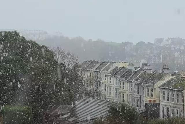
Snow has arrived in West Sussex.
Reports first came in about the white stuff from a number of West Sussex locations around 10.20am on Wednesday, November 19 – including Horsham, Crawley, Chichester and Littlehampton.
An hour later, snow started to fall in East Sussex towns such as Hastings and Eastbourne.
This came after a cold health alert was issued for the South East – meaning impacts are ‘probable across the health and social care sector’.
The UK Health Security Agency (UKHSA) – in partnership with the Met Office – urged people across the UK to keep themselves and loved ones safe.
The BBC’s latest forecast for Sussex reads: “Today will begin cloudy with showery rain, this turning to sleet or snow on higher ground. The afternoon will become drier, with clear spells developing by the evening.
“Tonight, once cloud clears off to the east, it is going to be a cold, clear and dry night, with very little, if any, cloud cover drifting in.
“Tomorrow will begin mainly dry and sunny, with just the odd patch of cloud here and there. Turning more widely cloudy in the afternoon, with the odd spot of rain, sleet or snow possible. Cold.

“Friday is expected to see a few lingering showers during the morning, these possibly wintry on the highest ground. Turning dry with brighter skies during the afternoon.
"Saturday looks to turn mostly cloudy and breezier, with just the chance of the odd spot of light rain around the middle of the day. Sunday may see more in the way of cloud and the chance of patchy rain.”
The yellow warning, which came into force at 12pm on Monday (November 17), will be in place until 8am on Saturday, November 22.
The risk description reads: "There is potential for significant impacts across health and social care services, including – a rise in deaths, particularly among those aged 65 and over or with health conditions [but there may also be] impacts on younger age groups; a likely increase in demand for health services; impacts on the workforce affecting delivery of services and challenges keeping indoor temperatures at the recommended 18°C, leading to more risk to vulnerable people.”
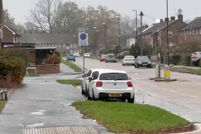
The alerting system provides an early warning when adverse temperatures are likely to impact on the health and well-being of the population.
Allison Cannon, chief nursing officer for NHS Sussex, said: “Colder weather can have a serious impact on people’s health, especially for those who are older, have long-term conditions, or may find it harder to keep their homes warm.
"We’re asking everyone in our communities to take simple steps to protect themselves and to look out for family, friends and neighbours who may be more at risk. Keeping warm, staying connected and seeking advice early if you feel unwell can make a real difference during this period of low temperatures.”
The Met Office said arctic air plunged southwards on Monday – ‘bringing a cold but sunny day for many’. Temperatures have dropped below zero degrees Celsius.
Multiple national severe weather warnings for ice and snow are in place for parts of Scotland and northern England from Monday to Thursday.
Deputy chief forecaster Tom Crabtree explained: “Wednesday to Friday will be the coldest part of the week, and this period has the greatest potential for impactful weather, with multiple warnings in place. Overnight, temperatures could get down to minus ten, with a significant wind chill from the strong northerly wind making things feel even colder.
“Wintry snow showers are expected to extend south through Wednesday and into Thursday, mainly affecting north facing coastal areas.
"Snow accumulations are possible, including 2-5 cm to some low-lying areas in the north and east where showers are frequent.
"On hills in parts of Northern Ireland, the northeast of England and Scotland, 5-10 cm of snow could fall and accumulations of 15-20cm are possible above 300 metres in parts of northeastern England and Scotland.
“Although many places will see plenty of sunshine, daytime temperatures will be well-below average, with a widespread frost setting in during the evening, especially in sheltered areas.
“With sub-zero temperatures in the first ‘cold snap’ of the year, updates to the current warnings are possible, so its important people keep up to date with the forecast.”