
Villagers urged to report sat-nav short cut as historic lane gets congested
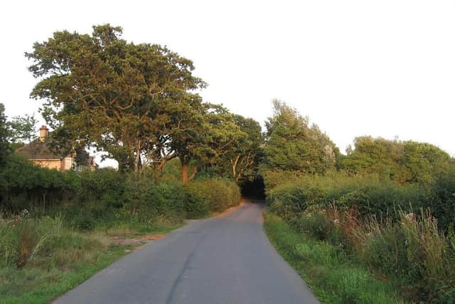
A software expert from the historic village of Ripe is urging residents to 'fight fire with fire' in a campaign to stop cars using Langtye Lane as a rat run.
Ripe resident Carl Meek wants villagers to go to Google Maps, click on Langtye Lane and report a problem, hopefully making the road less desirable to automated routing. He says the more people that report a problem, the more likely Google will be to 'down-weight' it on their routing algorithms.
His advice was triggered after he encountered 70 cars short-cutting along Langtye Lane. He said: "The very few passing places that exist are flooded with scary, deep holes and when the A27 has a problem, like this morning, this gets almost catastrophic. The problem is sat-nav routings from Google. When traffic on the A27 reports delays it sends cars along Langtye Lane. Because this is a slow road anyway it doesn't notice the gridlock there itself."
Langtye Lane is an historic throughway based on a Roman, and earlier route. The section of the lane leading towards Mays Corner dates from Roman times when it was the southern boundary of the Roman field system.

There is evidence of early settlement including a Roman villa to the southwest and pre-Roman archaeological discoveries documented in Celts, Romans and Countrymen. Stone tools from the parish have been found in two places to the south of the village, used by hunter gatherers across open woodland with wild horses and reindeer.
Before the Norman Conquest in 1066, Ripe was owned by Earl Harold, later King Harold. In Norman times the low lying-land known as the Laughton Levels was likely a tidal inlet and the Domesday Book (1086) recorded salt pans stretching to Ripe where seawater was evaporated for salt.