
Sussex heatwave: Sun-seekers flock to Brighton beach but just how hot will it get this week - and when will thunderstorms arrive?

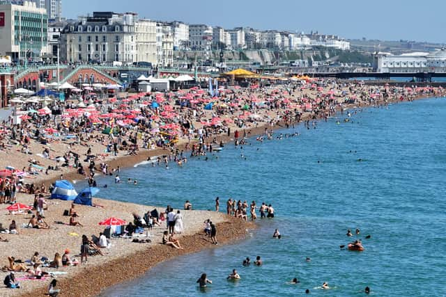
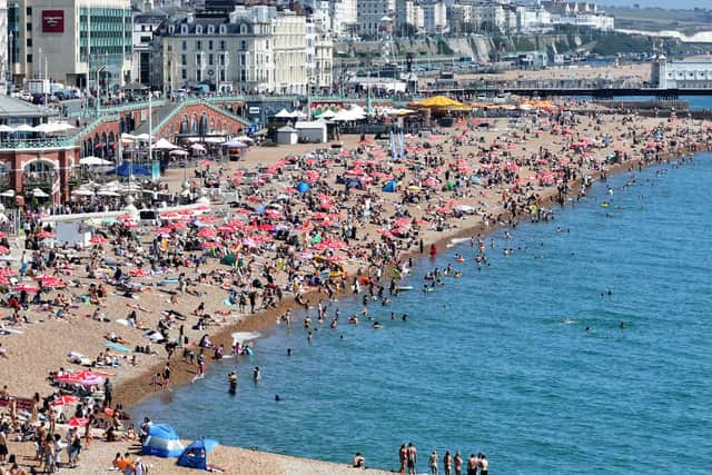
As temperatures soar in Sussex, people have already made the most of the chance to head to the beach.
Amid temperatures of 28 degrees Celsius in Brighton, photos showed that the beach was packed on Monday (August 11).
It is expected to get even hotter in Sussex, with temperatures of 31 degrees Celsius forecast on Tuesday. It could hit 33 degrees in other parts of the South East and London.
As such, an amber heat health alert has come into force for the county.

The alert will run from 9am on Tuesday, August 12 and end at 6pm on Wednesday, August 13.
The risk description of the official alert – from the UK Health Security Agency and Met Office – states: “Significant impacts are likely across health and social care services due to the high temperatures.”
This includes a possible ‘rise in deaths’ – particularly among those ages 65 and over or with health conditions.
The Met Office’s London & South East weather forecast read: “[There is a] chance of isolated thundery downpours in the early hours. Feeling humid overnight with a gentle breeze. Minimum temperature 19 °C.
"Hazy sunshine during the morning soon turning into prolonged sunshine. Feeling very warm with light winds. Maximum temperature 33 °C.
“Outlook for Wednesday to Friday: “Plenty of sunshine throughout the period, feeling warm or very warm with humid nights. Isolated evening thunder is possible on Wednesday night.”
After Friday – until Sunday, August 24 – high pressure will ‘likely build’, the weather experts said.
They said this could lead to a period of ‘fairly dry and settled weather for many at first’.
"There may however be some heavy, thundery showers over the weekend, especially in the south,” the Met Office added.
"Temperatures will likely remain above normal, and much of the south could still see warm or very warm temperatures for at least a couple of days.
"There is a possibility that the heat could last further into the week, especially in the south. Beyond this high pressure will likely continue leading to plenty of fine weather, perhaps with the odd heavy shower or thunderstorm.
"Temperatures will likely continue to be above normal but there are some signs of fresher conditions developing in the north later.”