The homes around Bartholomew Way and Lemmington Way with open fields to the north on the bypass, pictured in the late 1990s Horsham nostalgia: Aerial views from the 1990s show Merryfield Drive, Comptons Lane and Bartholomew Way
These aerial pictures from the County Times archive show many of our neighbourhoods from the sky as they were 25 years ago.
By Gina Stainer
Published 8th Apr 2022, 14:59 BST
Updated 8th Apr 2022, 15:02 BST
Can you spot your home or business from above?
To see more old aerial images click here.
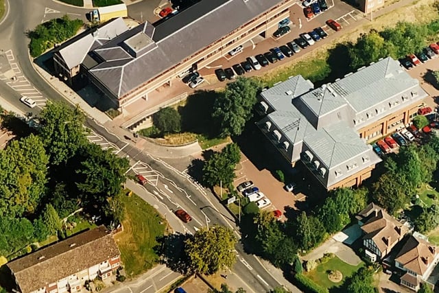
5.
Worthing Road in Horsham around 1997 Photo: WSCT
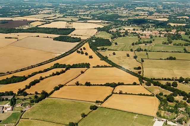
6.
Countryside near Christ's Hospital Photo: WSCT
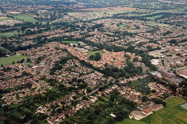
7.
The area around Worthing Road and the cricketground in Horsham pictured in the late 1990s Photo: WSCT
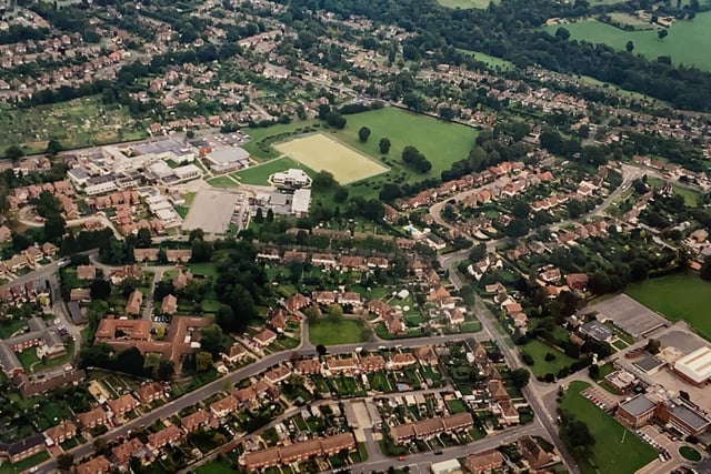
8.
The Comptons Lane area in Horsham including Millais, Forest and the QEII School, pictured in the late 1990s Photo: WSCT