
Updated yellow weather warning for thunderstorms in Sussex - 'Probable damage to buildings' from lightning strikes
The risk of heavy showers and thunderstorms has sparked a fresh yellow weather warning in Sussex.
The Met Office has issued its third yellow weather warning in three days, which runs from 11.30am to 7pm today (Thursday, May 11). The latest warning covers inland areas of Sussex – including Crawley, Horsham, Haywards Heath and Petworth – but does include coastal areas of the county.
Weather experts said heavy showers and thunderstorms are ‘likely to cause some disruption to travel’.
A spokesperson said: “There is a good chance driving conditions will be affected by spray, standing water and/or hail, leading to longer journey times by car and bus. Delays to train services are possible
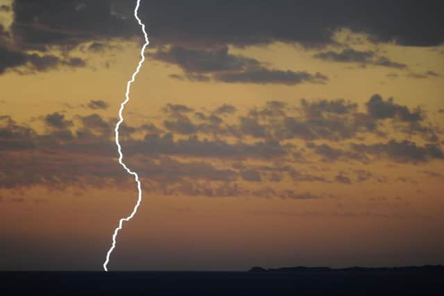

“[There will] perhaps be damage to a few buildings and structures from lightning strikes. Some flooding of a few homes and businesses likely, leading to some damage to buildings or structures. Some short term loss of power and other services is likely.”
Multiple roads were flooded – and a tree fell on the railway line – after West Sussex towns were hit by torrential rain during a thunderstorm earlier this week.
Residents reported a temporary loss of internet during a torrential downpour as well as thunder and lightning in Crawley, Horsham and Mid Sussex on Tuesday.
In its latest warning, the Met Office said: “Heavy showers will develop quite widely later this morning and afternoon, hail and lightning accompanying showers in some places. Some of these showers will be slow-moving and 10 to 20 mm of rain is likely to fall in less than an hour in some places whilst a few spots could see as much as 20 to 50 mm of rain in two or three hours.”
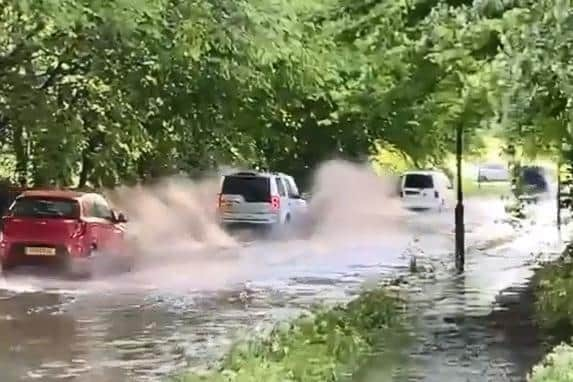
With the news that flash floods are causing ‘widespread problems’ in parts of the country. Matthew Harwood, Confused.com home insurance expert, said: "With flooding causing damage to home and gardens across some of the country, some people have had to evacuate their homes. And with more rainfall expected, flooding could be even worse as the grounds are already saturated with rain.
“This could mean many more homeowners needing to make a claim on their home insurance for flooding-related incidents. If your home is damaged by this extreme weather, here are steps you should take before making a claim: