Storm Ciarán: When will it hit Sussex? What are the forecasts saying? What advice has the Met Office given?
and live on Freeview channel 276
Storm Ciarán is set to bring strong winds and heavy rain to southern parts of the UK when it arrives on Wednesday night and Thursday, according to the Met Office.
It comes after a number of areas in the UK faced flooding over the weekend – including Hastings, Bognor Regis and Littlehampton.
Advertisement
Hide AdAdvertisement
Hide AdChris Almond, the Met Office’s deputy chief meteorologist, said: “Winds associated with Storm Ciarán are likely to gust to 80mph along the south coast of England, with a small risk of somewhere exposed seeing 90mph, and winds could even gust up to 50 or 60 mph farther inland.
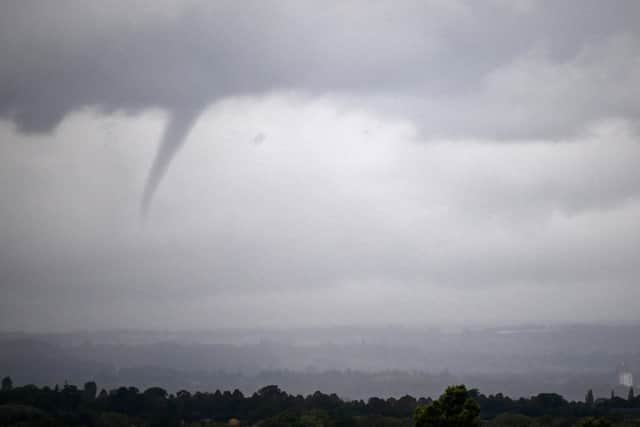

“This deep low-pressure system will also bring heavy rain to much of the UK, but the heaviest rain is expected in southern and western areas, with 20-25mm quite widely across the region but up to 40-60mm potentially over higher ground.
“Heavy and persistent rain will fall on to already saturated ground, bringing a risk of further impacts such as flooding in areas that are already struggling to clean up from the heavy rainfall we have seen over the last week or so.”
The Met Office has issued a yellow weather warning in south-east England, the West Country and south Wales from every day until Thursday, November 2.
Advertisement
Hide AdAdvertisement
Hide AdThe Storm Ciarán yellow warning begins at 6pm on Wednesday and remains in place for the whole of Thursday.
The Met Office said to expect ‘heavy rain’ on Wednesday, while ‘strong and potentially damaging winds’ are ‘possible’ on Thursday.
The Met Office website said: “Heavy rain associated with Storm Ciarán is also likely to bring further disruption.
“What to expect
“Delays or cancellations to train and bus services are possible
Advertisement
Hide AdAdvertisement
Hide Ad“Homes and businesses could be flooded, causing damage to some buildings
“Some communities may be cut off by flooded roads
“Fast flowing or deep floodwater is possible, causing a danger to life
“Very strong and potentially damaging winds associated with Storm Ciarán are possible on Thursday.
“What to expect
“There is a slight chance that damage to buildings and homes could occur, with roofs blown off and power lines brought down
Advertisement
Hide AdAdvertisement
Hide Ad“There is a small chance that flying debris will result in a danger to life
“There is a small chance that injuries and danger to life could occur from large waves and beach material being thrown onto sea fronts, coastal roads and properties
“There is a small chance that roads, bridges and railway lines could close, with delays and cancellations to bus, train, ferry services and flights”