
Video shows light snowfall in West Sussex amid updated cold weather alert; ice warning also issued

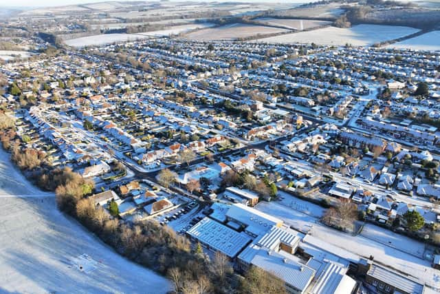
Light snow has fallen in Sussex for the second day running, amid freezing temperatures across the country.
Snow and ice warnings, from the Met Office, are currently active for the majority of the UK. South East regions and London fall outside the warning areas on Tuesday (January 6).
Nevertheless, video footage showed light snow falling in Horsham, West Sussex, shortly after 11am. After a brief pause, the white stuff emerged again at 11.45am.
Snow also fell across the county on Monday – you can see a gallery of photos at www.sussexexpress.co.uk/news/people/snow-hits-sussex-as-freezing-temperatures-continue-in-photos-5462437.
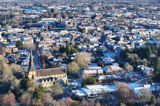

A yellow warning will come into force for Sussex at midnight – with icy patches overnight and possible disruption on Wednesday (January 7).
People are urged to take care, amid the risk of ‘some injuries from slips and falls on icy surfaces’.
The Met Office warned there will be ‘probably some icy patches on some untreated roads, pavements and cycle paths’.
The government agency added: “Following a band of precipitation which clears southeast overnight, clear skies will develop for many areas on Tuesday night will lead to icy patches on untreated wet surfaces. This could lead to some minor disruption especially on Wednesday morning.”
Meanwhile, a new amber cold weather health alert – for the South East of England – is in place until Sunday, January 11.
The updated UK Health Security Agency (UKHSA) alert – which came in force at 10am on Tuesday – reads: “Forecast weather is expected to have significant impacts across health and social care services, including a rise in deaths, particularly among those aged 65 and over or with health conditions. We may also see impacts on younger age groups.”
An Arctic airmass ‘continues to cover the UK’, bringing cold conditions with snow, sleet and hail showers.
The Met Office stated: “While a number of severe weather warnings expired through Monday, numerous warnings remain in place for Tuesday. The whole of Scotland, Northern Ireland and northern England remain under yellow warnings for snow and ice, and an amber warning is in place for snow in central Scotland.
“Further warnings cover the east of England and west of Wales as well as Devon and Cornwall.
"Temperatures dropped to -10.9°C at Shap in Cumbria on Sunday night, with numerous Met Office stations well below freezing. Lying snow has been recorded at a large number of Met Office stations, with the greatest accumulations being 52cm at Tomintoul in Banffshire, 35cm at Durris in Kincardineshire and 34cm at Loch Glascarnoch in Ross & Cromarty as of 10:00 Monday morning.”
Wind and rain to follow
Further into the week, according to the Met Office, ‘there are signs’ that strong winds and heavy rain ‘may bring additional hazards to the impactful weather across the UK’. There is ‘some uncertainty’ over the position of a low pressure system which is ‘important in understanding the potential weather hazards it may bring’.
BBC Weather’s latest forecast for Sussex reads: “Today will be a dry day, with large areas of cloud drifting by at times, but also some wintry sunny breaks in between.
“This evening will turn breezier and cloudier, and into the early night a band of rain will sweep in from the north-west, turning wintry in a few spots. Skies clearing later.
“Tomorrow will see a dry day and there will once again be some areas of cloud around, but wintry sunny spells too. Staying breezy through the day.
“Thursday will be a cloudy day with outbreaks of rain moving in through the afternoon. Rain will turn to snow overnight and it will turn windy.
"Friday will start cloudy with rain and snow clearing to the east. It will turn drier in the afternoon with some sunny spells developing. Saturday will be dry with sunny spells.”
The Met Office’s deputy chief meteorologist, Mike Silverstone, said it is ‘important to stay up to date’ with the weather forecast through the week.
He added: “While we’re confident an area of low pressure will move in from the west on Thursday and into Friday, the exact position of that low pressure is uncertain at this stage. The position is important as it will determine the type of severe weather different locations may experience.
“The most likely scenario at this stage is for low pressure to track near the south coast. Near and south of the low, heavy rain and strong winds are more likely, whilst snow could accumulate to the north as it encounters cold air. As confidence increases in the track of the low pressure, so will the detail of the weather impacts.”
For the latest weather-related news across Sussex, see: www.sussexexpress.co.uk/news/weather